Processing GK-2A Images
The standard full disk (FD) images from GK-2A are infra red images and show as a grey scale, which whilst being scientifically the accurate reflection of the data received, we are not used to seeing the world in shades of grey so it looks “wrong”.
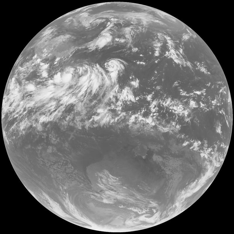
What would look so much better visually is if they infra red image content could be merged into a full colour image of the same geography to get the best of both worlds.
Matt Painter has just released Sanchez which can be downloaded from his GitHub repository. Having heard about it from him on Discord and on Reddit I was looking forward to trying it out.
So using the image above, I reprocessed the image to get the full colour version.
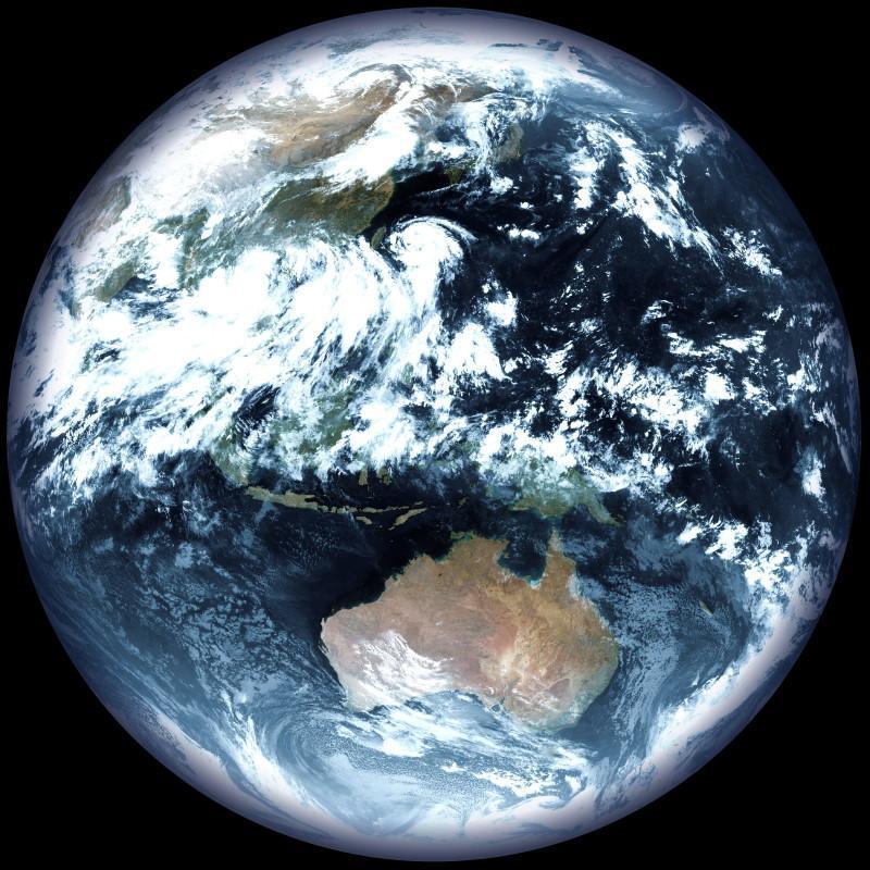
All the infra red data is so clearly there and it is so much easier to understand where the geography is too, although New Zealand is still incognito with a thick layer of cloud still covering it.
This is a significant improvement and I’ll be using this processing on this website, although I’ll still also use some unprocessed images too.