Storms Within Storms South of Alaska
Meso images from GOES 17 have been on this website for a few months, although from looking at single images it is hard to really appreciate quite what is happening over time.
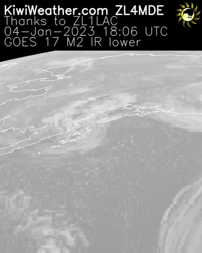
As an example, it is clear from the image below that Meso 1 is showing the area covering Alaska and just south, which is the normal location for Meso 1. Plus you can clearly see a lot of cloud cover, which is pretty normal for this time of the year in the northern hemisphere’s winter. But it is not simple to see more than this.
However having started to animate these images, you can really see the amazingly complex interactions between weather systems and the local geography dominated by the sea in the bottom half of the image and the curved land / sea border in the middle of the image.
There is a significant storm system in the bottom half of the image, however between 0:02 and and 0:12 you need to watch carefully. There is a large system that takes up most of the bottom half of the image and is rotating slowly counter clockwise. However look closely and you’ll see several storms within that storm rotating at a faster rate.
It is also clear that the boundary between the ocean and the land is keeping most of the storm system over the ocean.
Fascinating to watch and a clear illustration of how complex our weather can be.