GOES 16
GOES 16, which is also known as GOES East, is a US weather satellite operated by NOAA, the National Oceanic and Atmospheric Administration. It, together with GOES 17 (GOES West) are in geostationary orbit, positioned over the equator and they cover most of the Pacific Ocean and US (17) plus the US and Atlantic (16).
GOES 16 was launched in 2016 and entered service in 2017 with a planned lifetime of 15 years.
It broadcasts a wide range of data which can be received and decoded using a Raspberry Pi / SDR / GOES SAWbird plus a slightly modified WiFi grid antenna.
From New Zealand, GOES 16 is not directly downloadable, but selected images are rebroadcast by GOES 17, which can be downloaded from New Zealand.
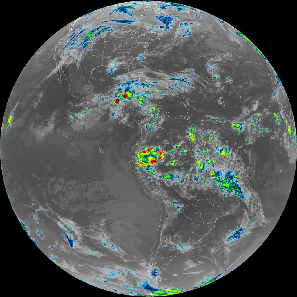
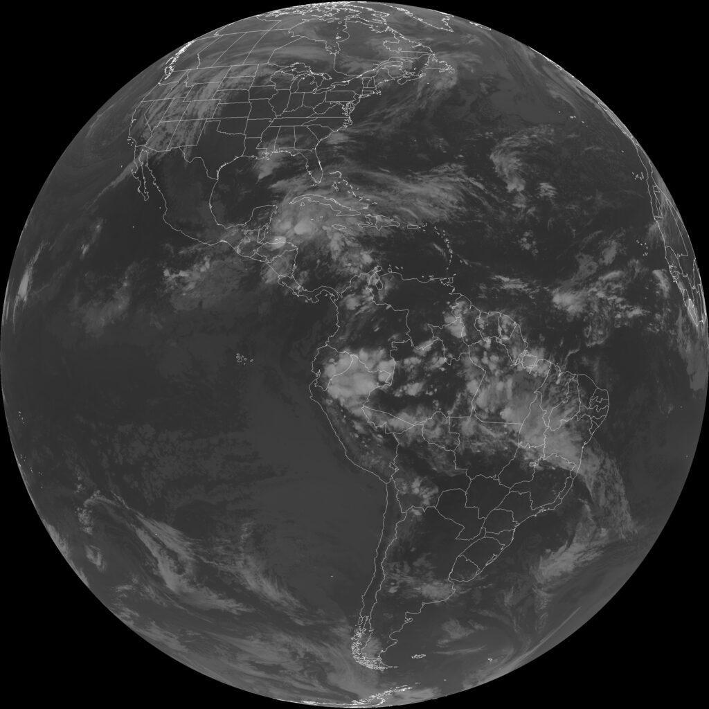
Selected full disc images are downloaded, with the entire Earth visible as a round circle. The image below was taken just as night had fallen over most of the Americas. Also visible in the image are the tip of Antarctica, Western Africa, parts of Western Europe and Greenland.
These images are best viewed by opening them in a new tab / window as this lets you see the full image size and you can also zoom into the image.
Also broadcast is an enhanced version of the same image to highlight storms.