GOES 14
These are the latest images from the GOES 14 weather satellite, which is active on a periodic basis which is normally around the northern hemisphere hurricane season. As a result these images may be relatively old.
These images are created from data that has been downloaded by LazzSnazz and are displayed here with thanks.
Full Disc – Full Colour
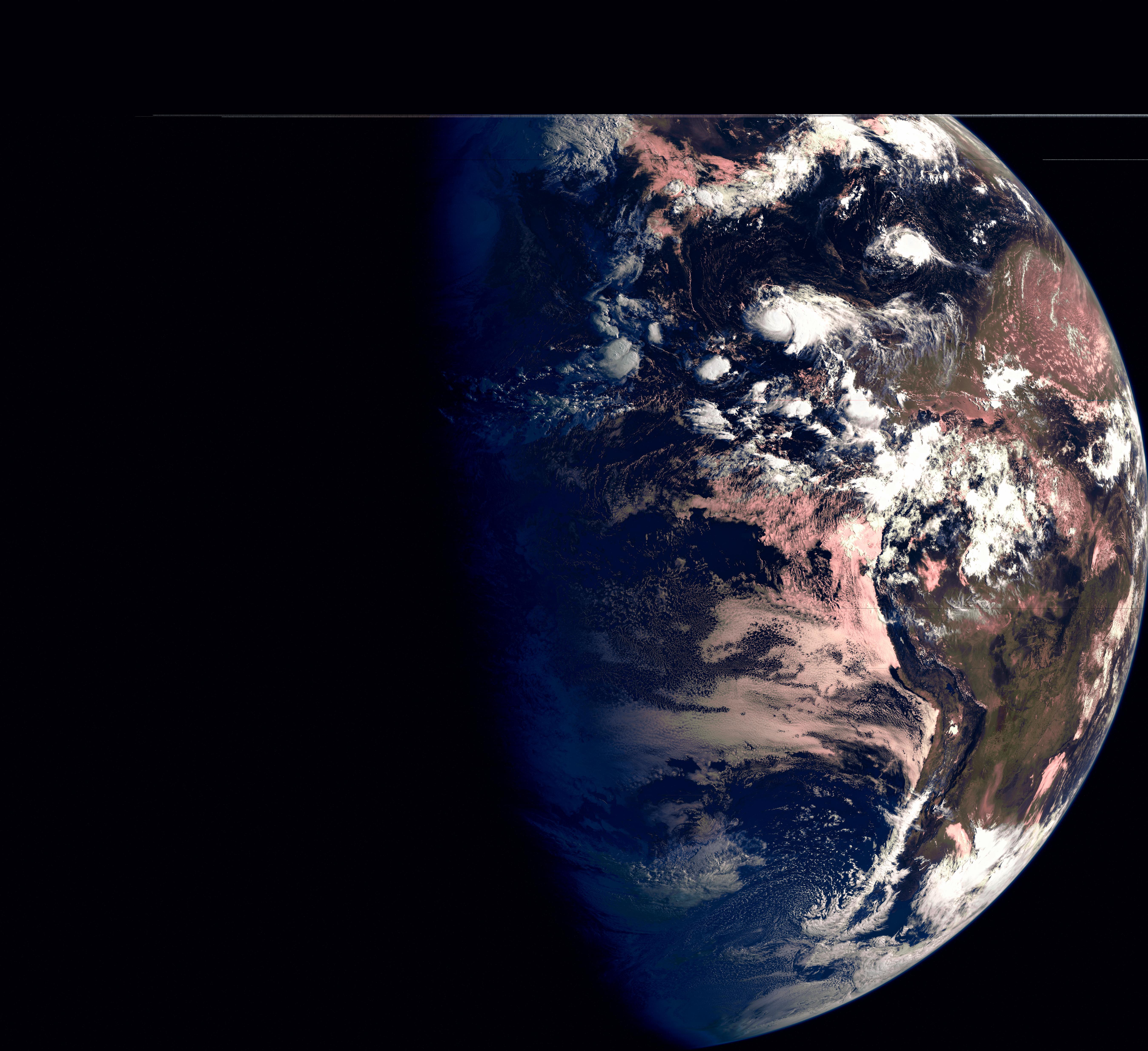
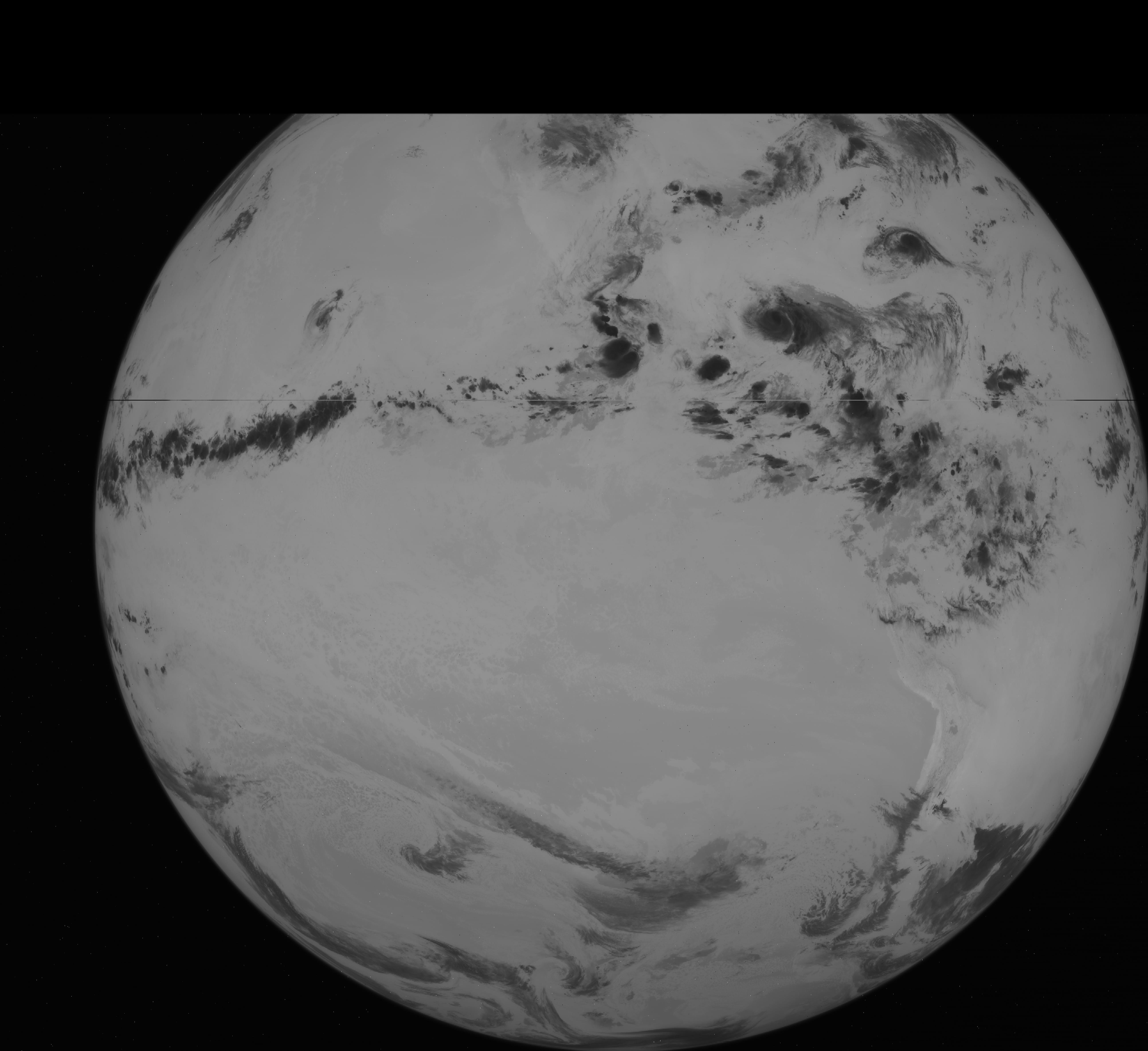
Full Disc – Visible
Cloud cover and surface features during the day. Band centred on 0.65μm.
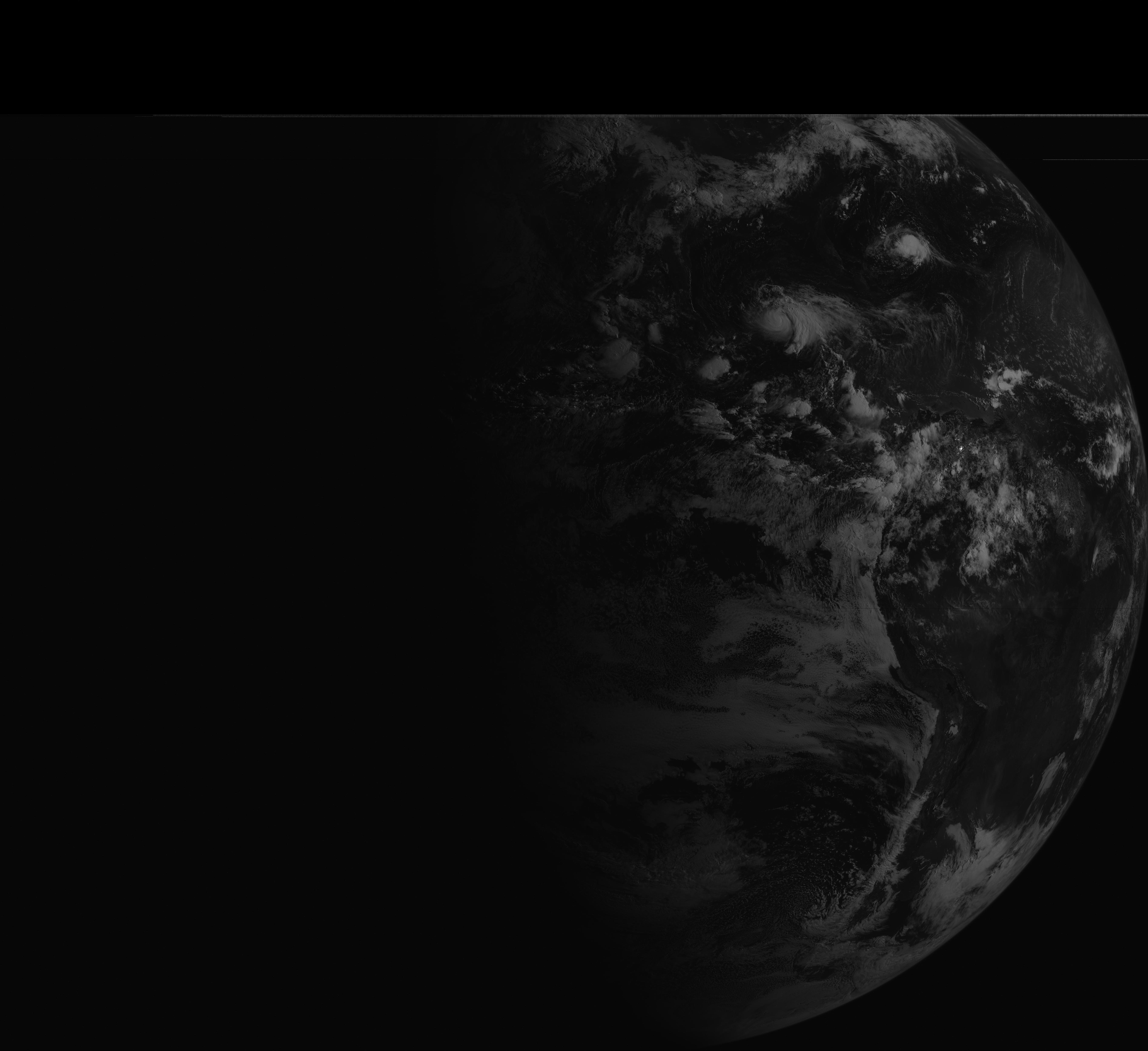
Full Disc – Infra Red
Low cloud/fog and fire detection. Band centred on 3.9μm.

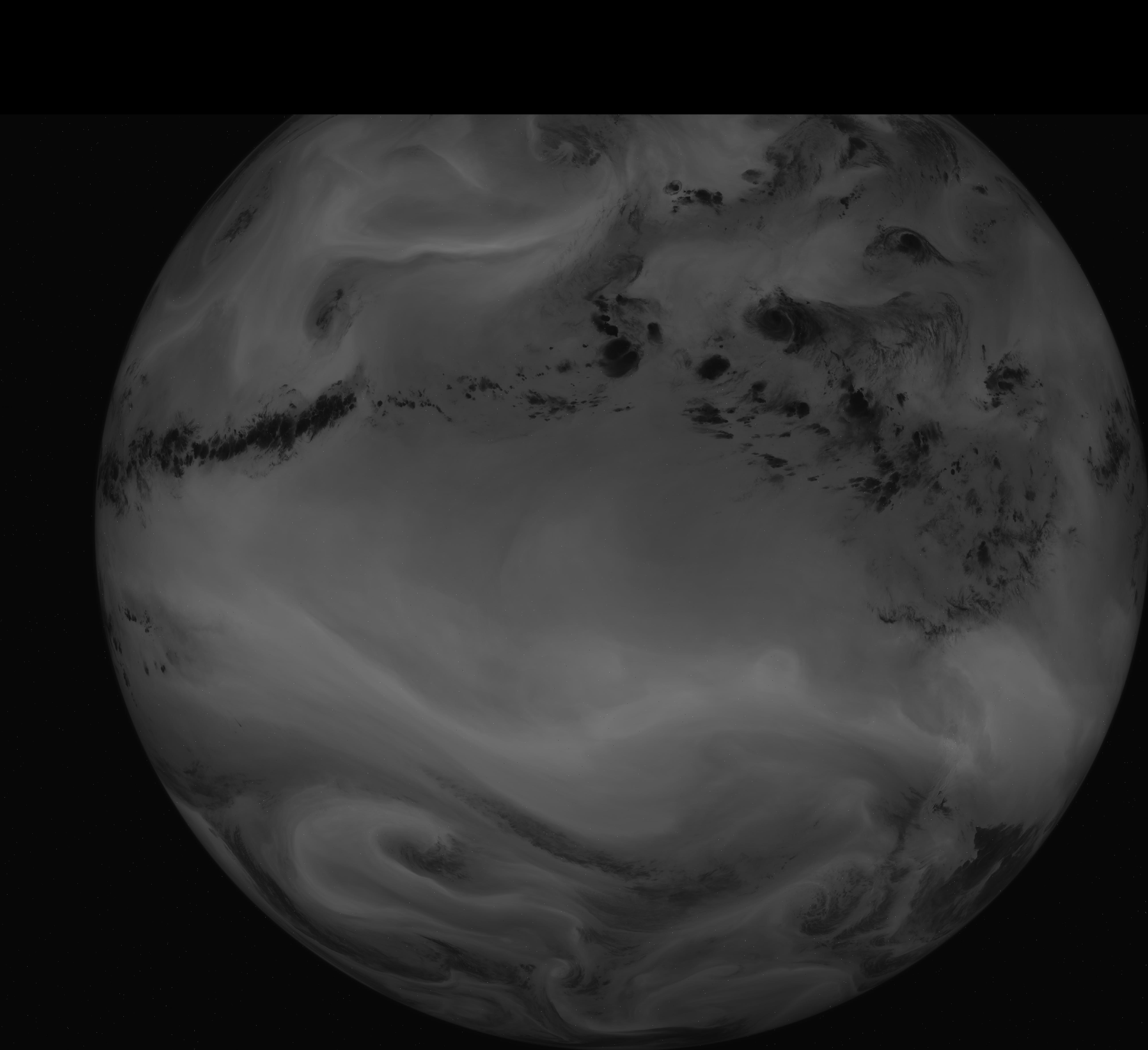
Full Disc – Water Vapour
Upper-level water vapour. Band centred on 6.48μm.
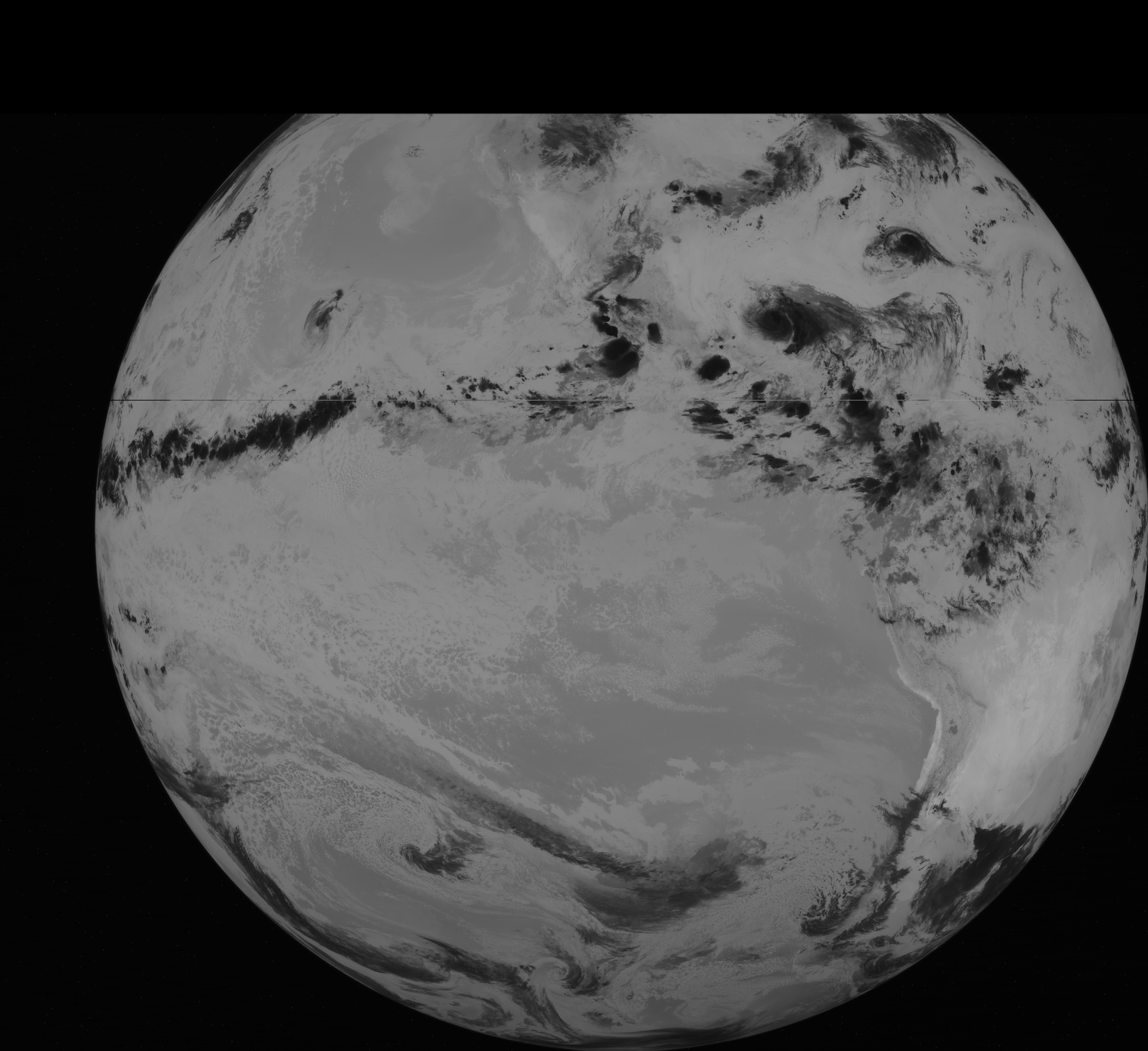
Full Disc – Infra Red
Surface or cloud-top temperature. Band centred on 10.7μm.
Full Disc – Infra Red
Surface or cloud-top temperature and low-level water vapour. Band centred on 12.0μm.
Description Source
NOAA Technical report – note that this covers GOES 12-15.