GOES 18
GOES 18, which will take over as GOES West from GOES 17, is a US weather satellite operated by NOAA, the National Oceanic and Atmospheric Administration. It, together with GOES 17 (GOES West) and GOES 16 (GOES East) are in geostationary orbit, positioned over the equator and they cover most of the Pacific Ocean and US (17 and 18) plus the US and Atlantic (16).
GOES 18 was launched in 2022 and will enter service in 2023 with a planned lifetime of around 15 years. Although it is replacing GOES 17 which only launched in 2018 due to issues it has with sensor cooling.
It broadcasts a wide range of data which can be received and decoded using a Raspberry Pi / SDR / GOES SAWbird plus a slightly modified WiFi grid antenna.
These images are best viewed by opening them in a new tab / window as this lets you see the full image size and you can also zoom into the image.
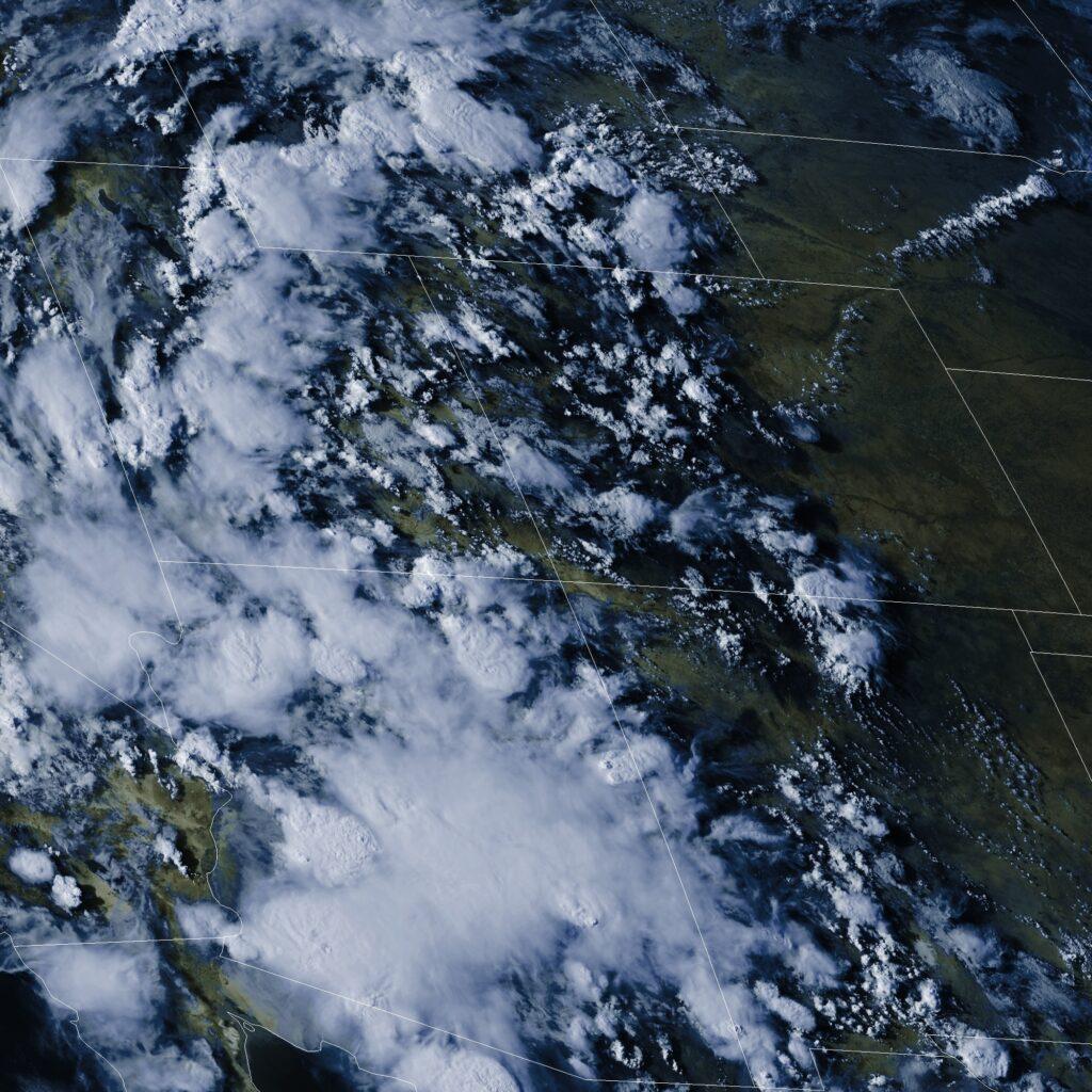
The satellite is almost constantly broadcasting data with the above example showing a zoomed in area of the US. Whilst this image is a full colour image, there are also single channel images sent which can show features such as vegetation, water vapour, infra-red, etc. The areas which are shown seem to feature “interesting” weather, with state lines and international borders added during the decoding.
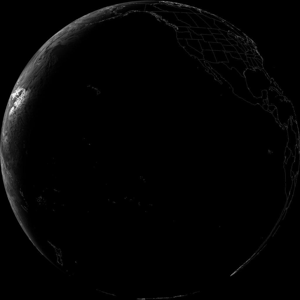
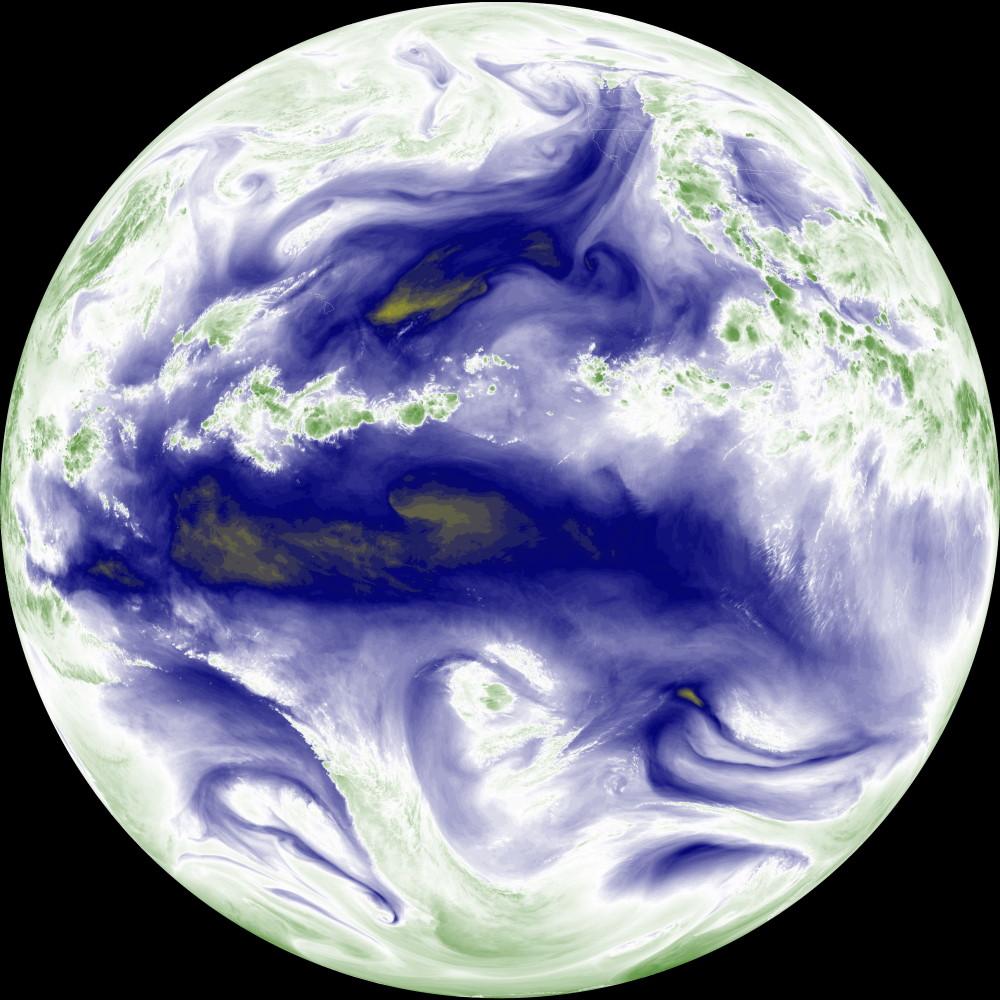
However the most visually stunning are the full disc images, with the entire Earth visible as a round circle. The image below was taken just as night had fallen over most of the Pacific, just about reaching Australia, with New Zealand in darkness.
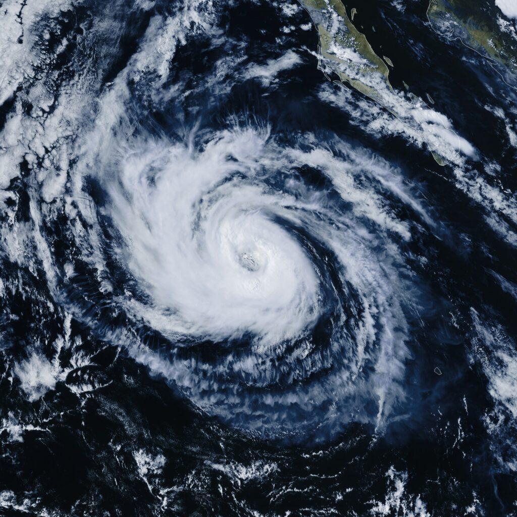
Using different wavelengths, data like the distribution of water vapour in the upper atmosphere can be tracked. With this image being enhanced to highlight spectacular detail.
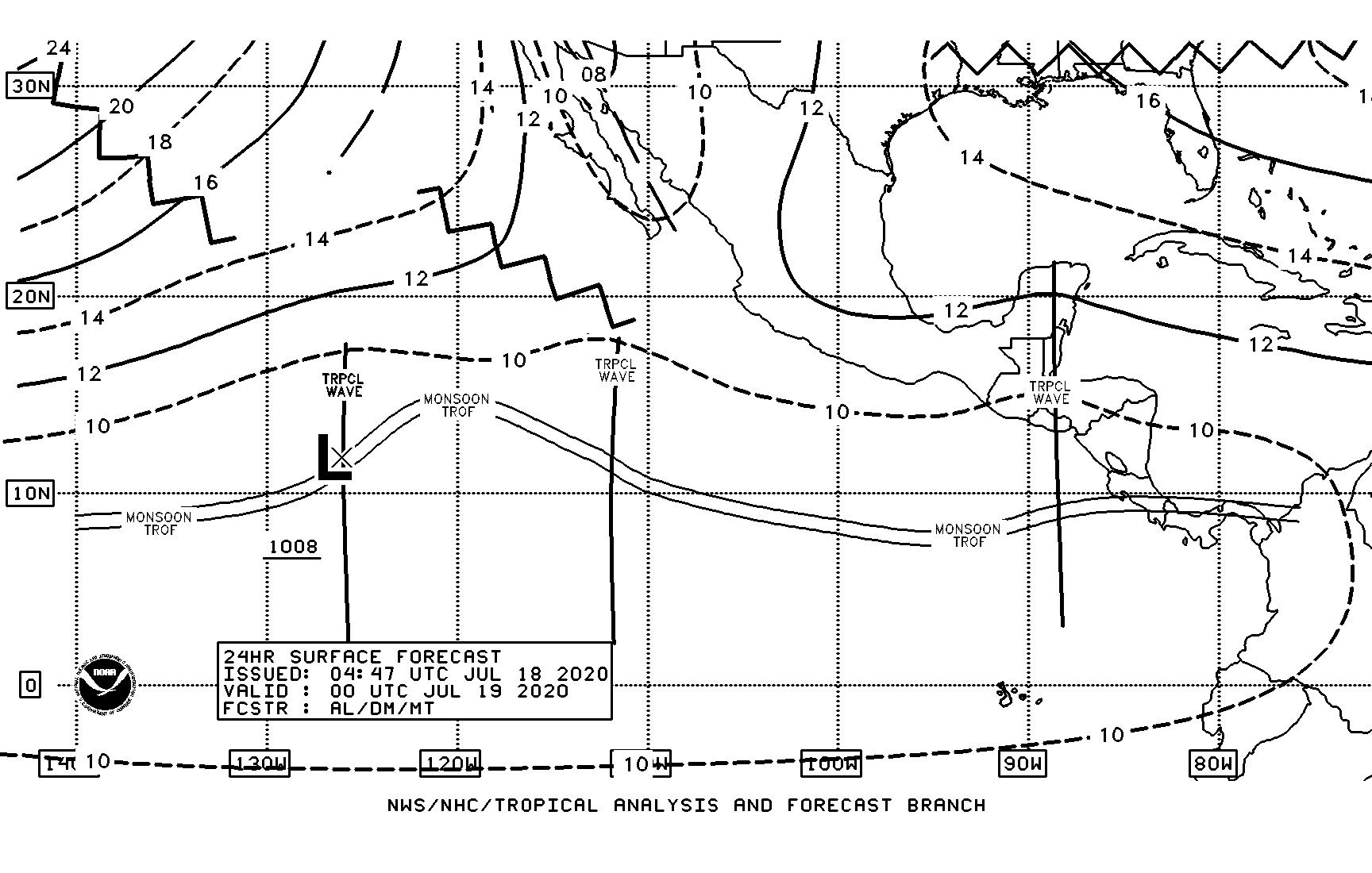
GOES 18 will also broadcasts weather forecast data (although mostly for the US).