GOES 17 Meso Area 2
These are the latest mesoscale images from the GOES 17 weather satellite, downloaded around every 30 minutes.
There are two mesoscale image areas which are areas which are displayed at a higher resolution to enable more detailed examination of areas of interest, e.g. intense weather systems.
The default meso 2 area is an area centred on Alaska.
To see the images at full size just click on the image and it will open in a new tab.
Note that the full colour and visible red images will show as blank when it is dark over the image area!
These images are created from data that has been downloaded by Zl1LAC / Leith Cullen and are displayed here with thanks.
Meso 2 – Full Colour
Meso 2 – Visible Red Band
- Daytime monitoring of clouds (0.5-km spatial resolution)
- Volcanic ash monitoring

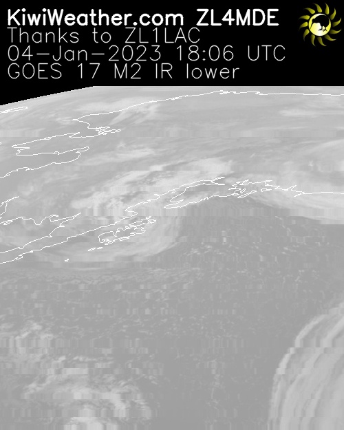
Meso 2 – IR Shortwave Window Band
- Low stratus and fog
- Fire/hot spot detection and volcanic ash
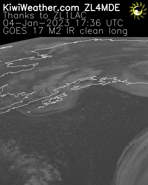
Meso 2 – Clean IR Longwave Window Band
Less sensitive to atmospheric moisture than the other IR channels. As a result brightness temperatures are usually warmer than traditional IR as less radiation is absorbed by water vapor and re-emitted at higher altitudes.
Description Source
GOES 16 Band Reference Guide – note this applies to GOES 16 and 17.