GOES 18 Full Disc
These are the latest images from the GOES 18 weather satellite, downloaded around every 30 minutes. Where two images are shown, the first is the unprocessed image and the second is enhanced to highlight additional detail.
To see the images at full size just click on the image and it will open in a new tab.
Note that the full colour and visible red images will show as blank when it is dark over the image area!
These images are created from data that has been downloaded by ZL1LAC / Leith Cullen and are displayed here with thanks.
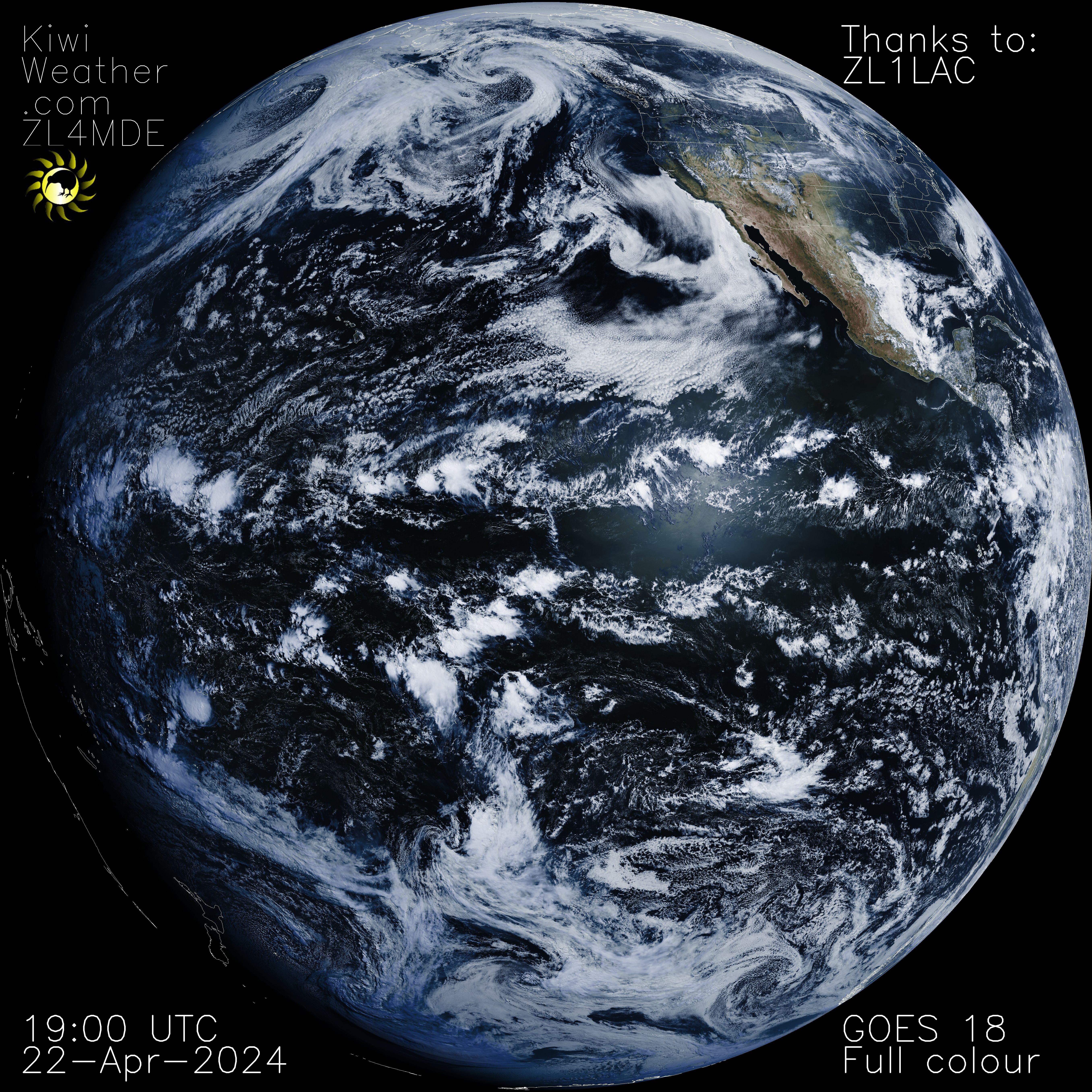
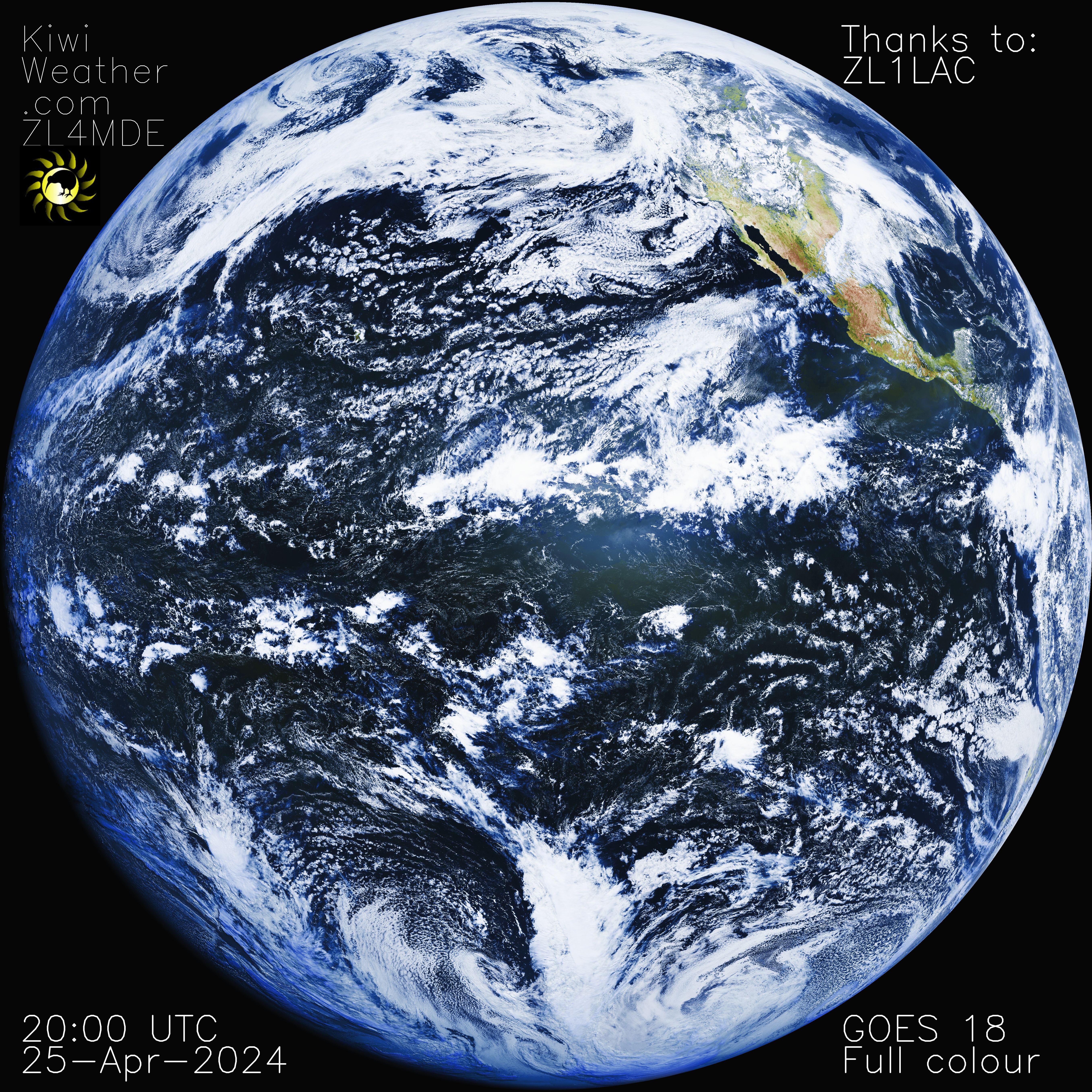
Full Colour
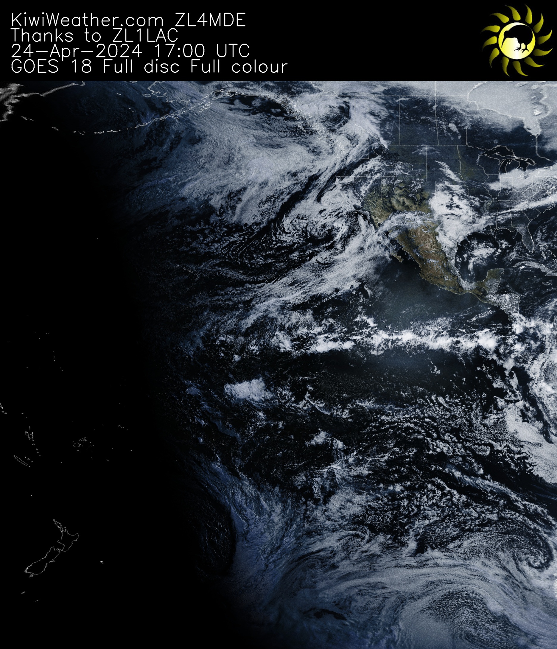
Full Colour – Reprojection
This image is a reprojection of the above image, to help visualise the full data, especially areas near to the edge, like New Zealand! This is implemented using Sanchez.
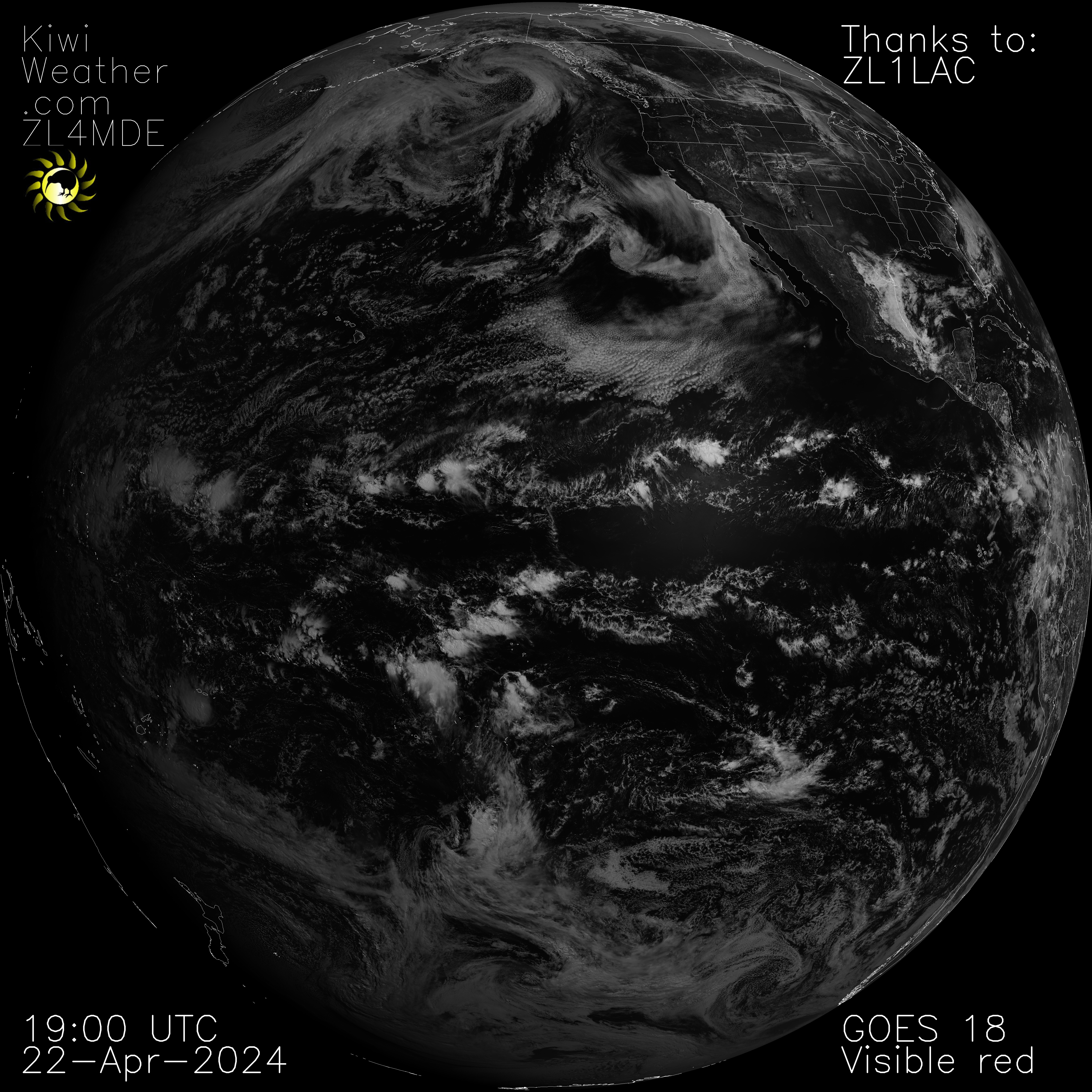
Visible Red Band
- Daytime monitoring of clouds (0.5-km spatial resolution)
- Volcanic ash monitoring
IR Shortwave Window Band
- Low stratus and fog
- Fire/hot spot detection and volcanic ash
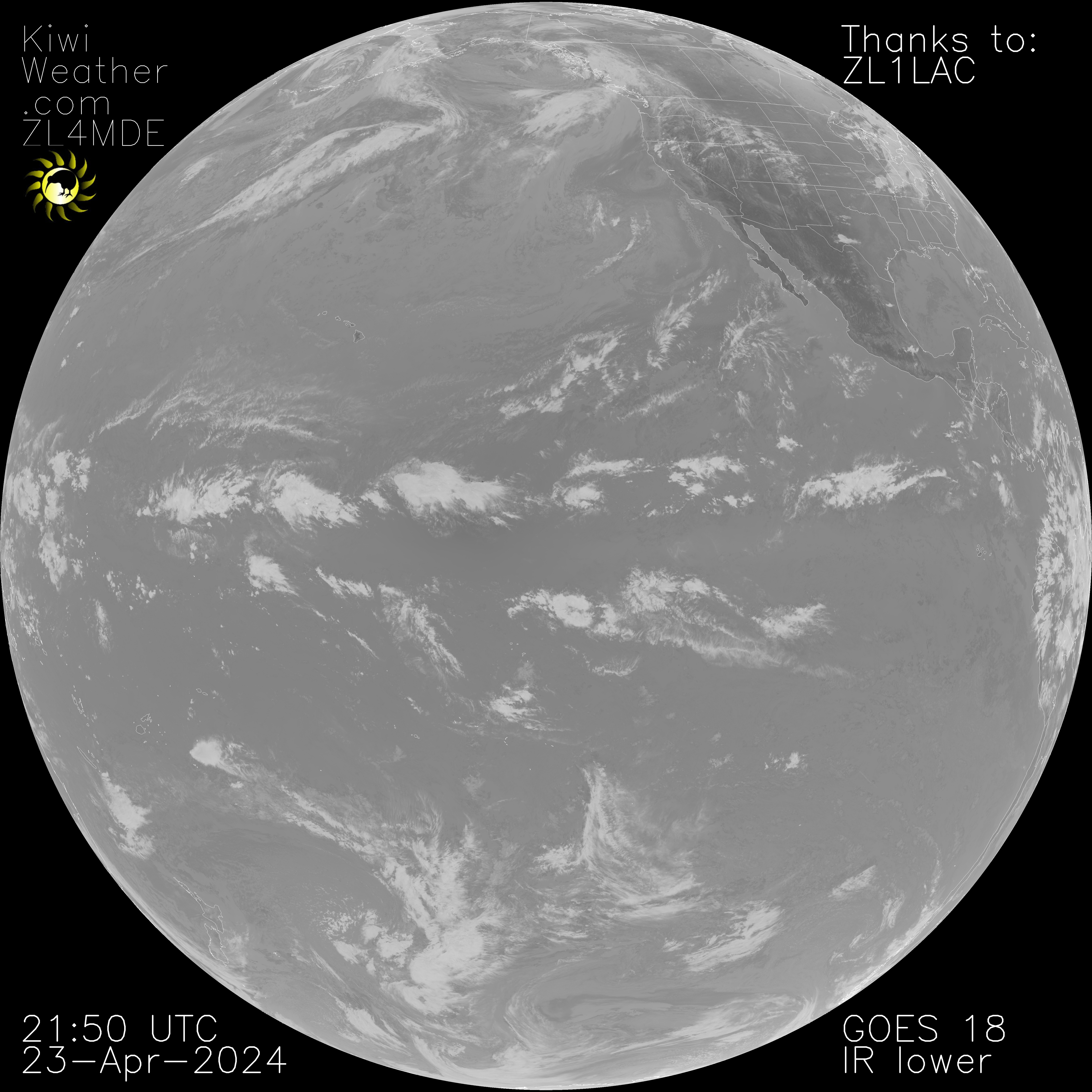

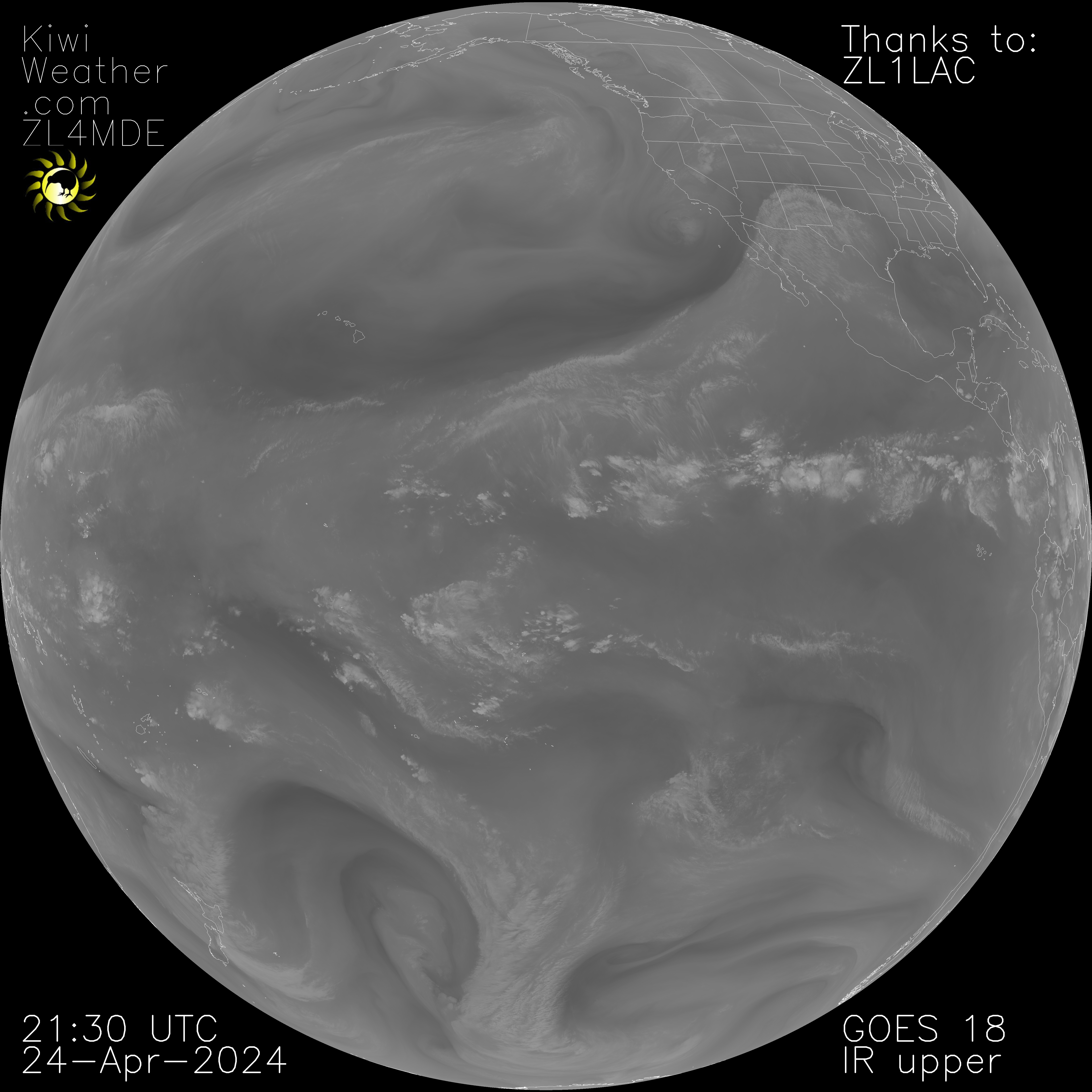
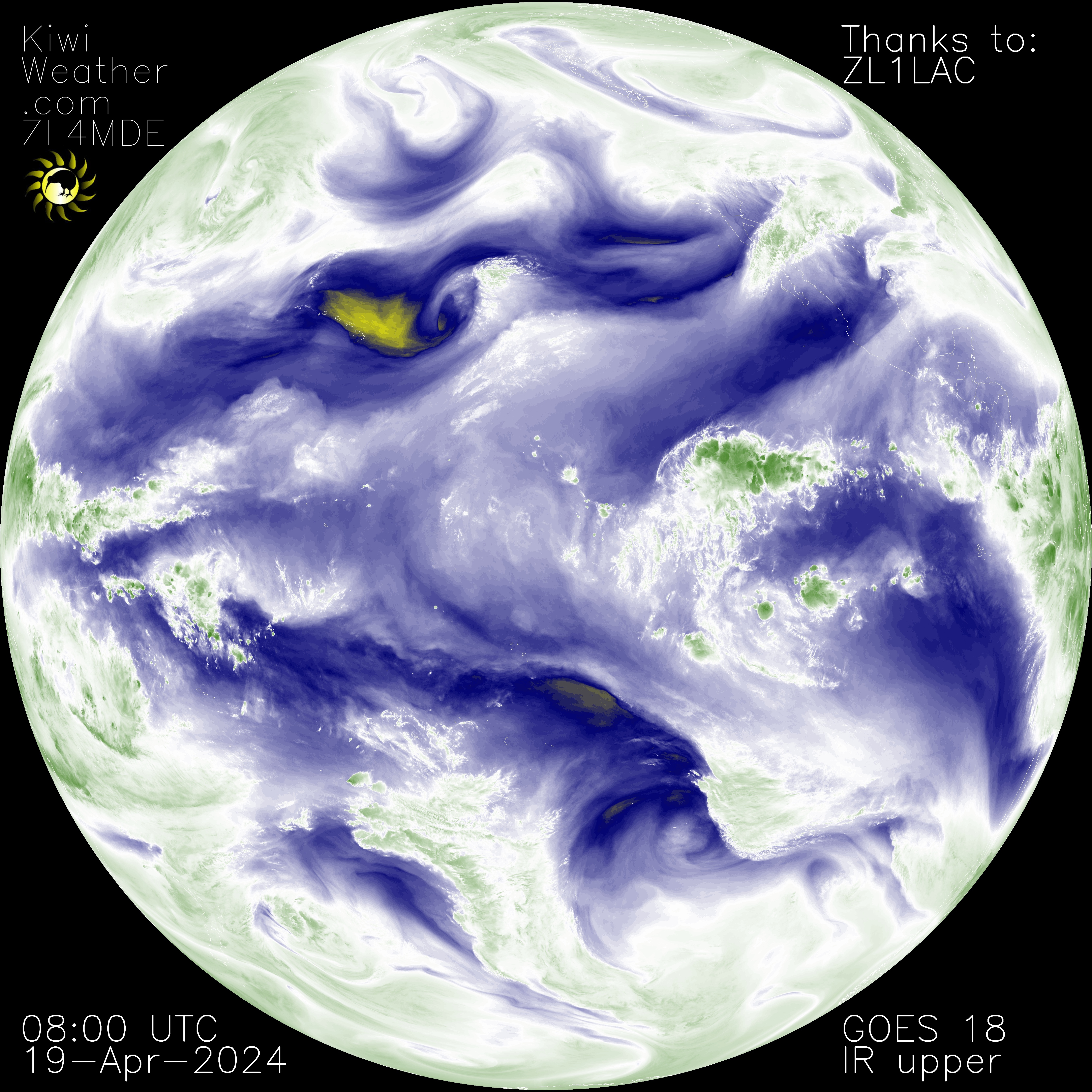
IR Upper Troposphere Window Band
Upper-level feature detection (jet stream, waves, etc.).
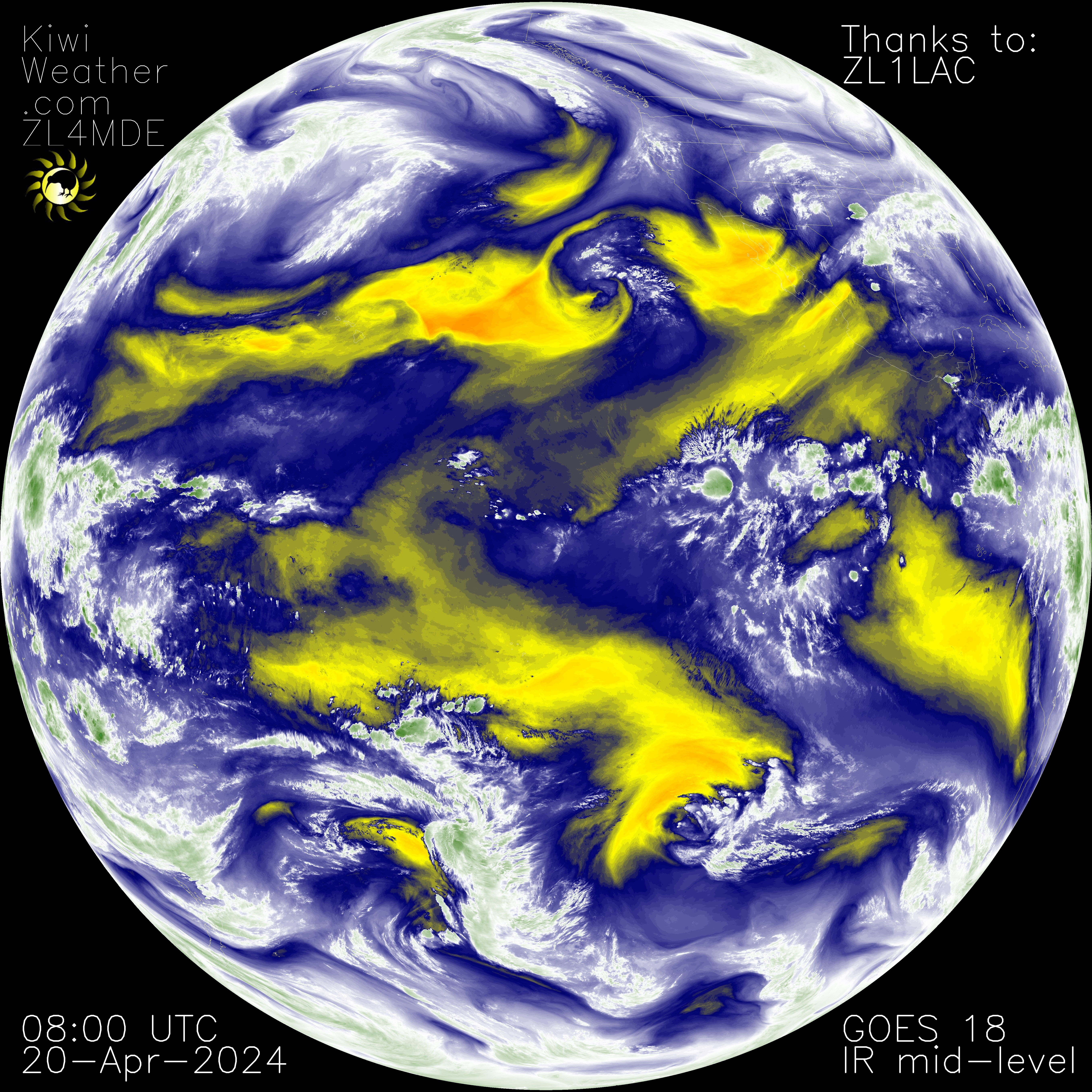
IR Mid-Level Troposphere Window Band
Mid-level feature detection.

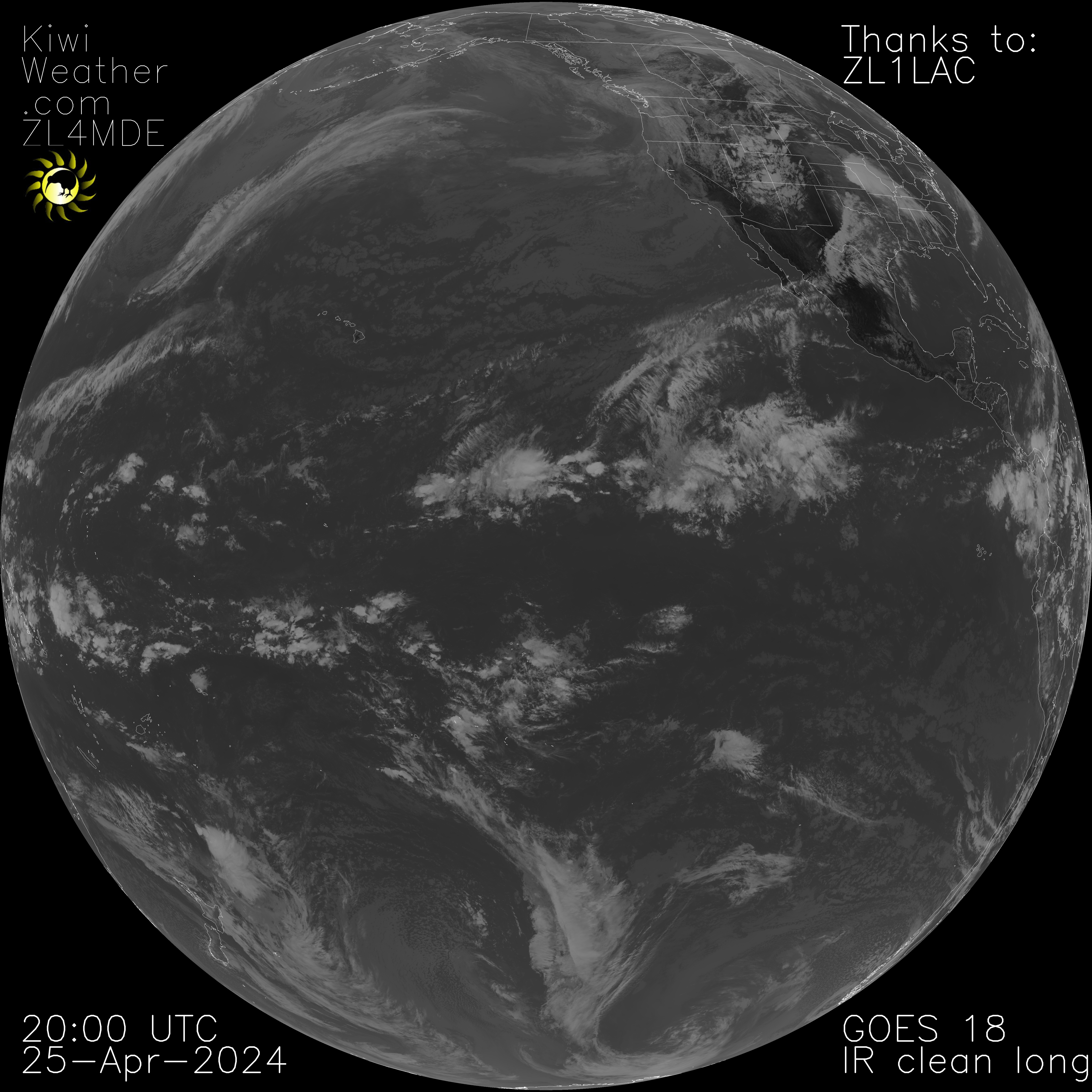
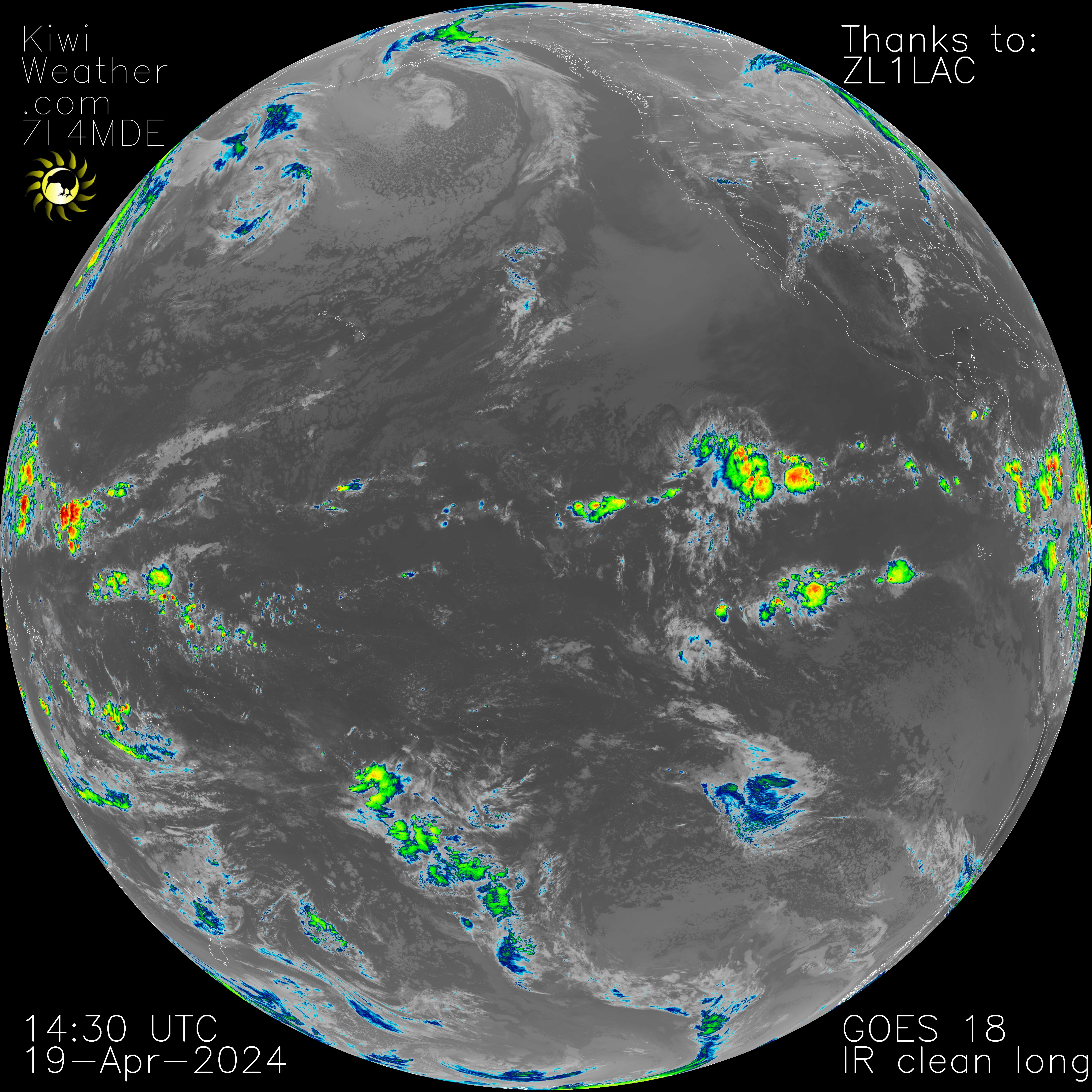
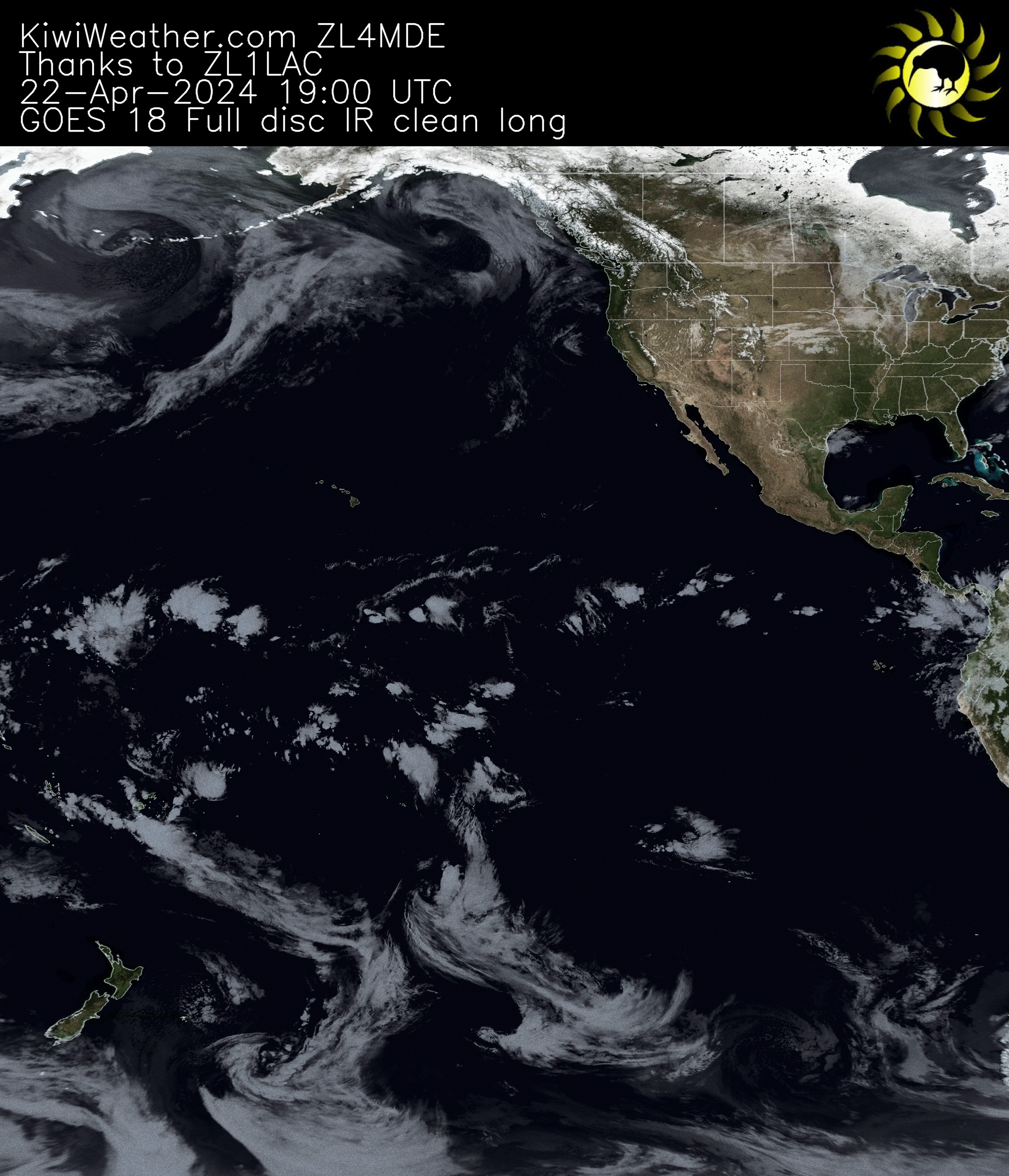
Clean IR Longwave Window Band
Less sensitive to atmospheric moisture than the other IR channels. As a result brightness temperatures are usually warmer than traditional IR as less radiation is absorbed by water vapor and re-emitted at higher altitudes.
Clean IR Longwave Window Band- Reprojection
This image is a reprojection of the above image, to help visualise the full data, especially areas near to the edge, like New Zealand! This is implemented using Sanchez.
IR Longwave Window Band
The traditional IR window


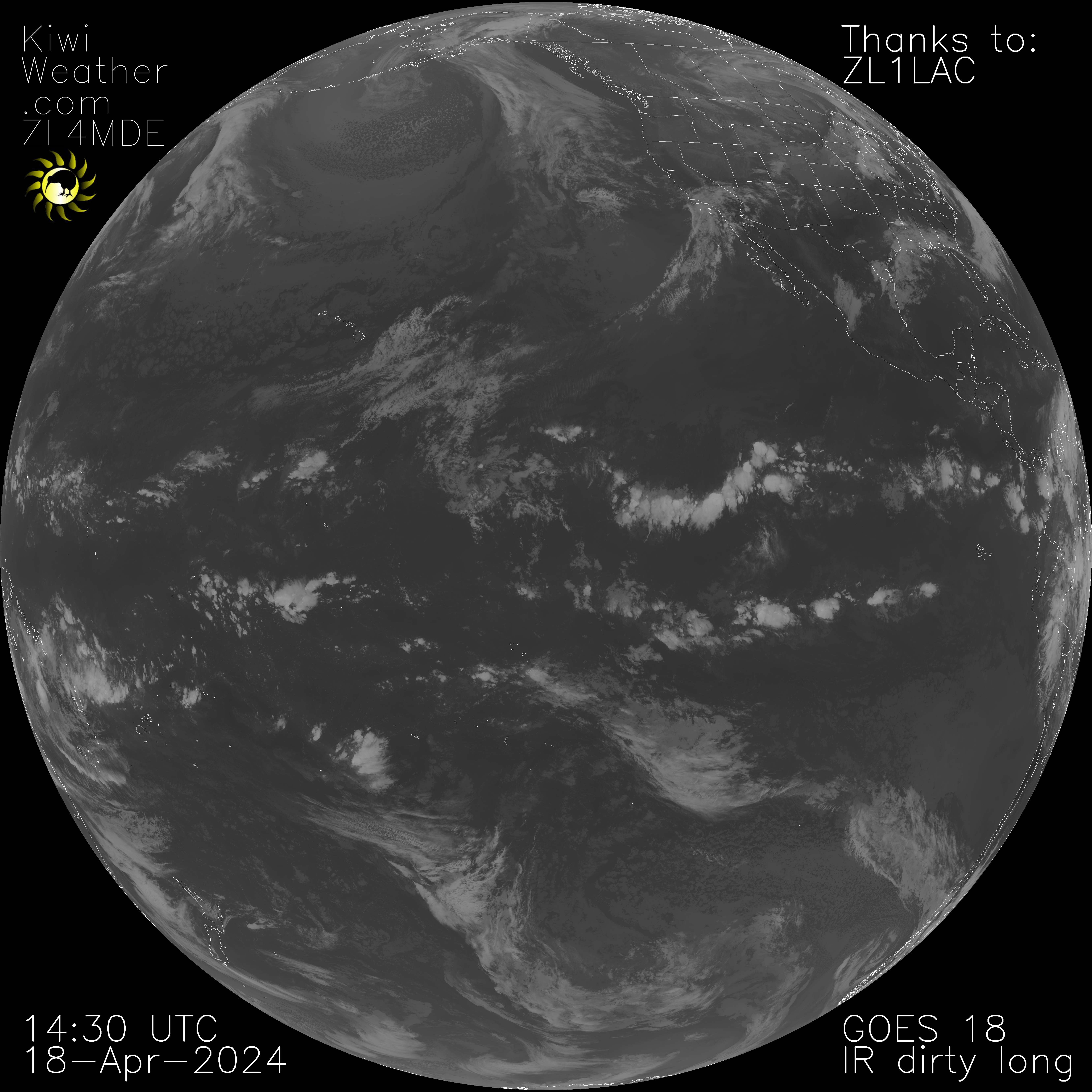
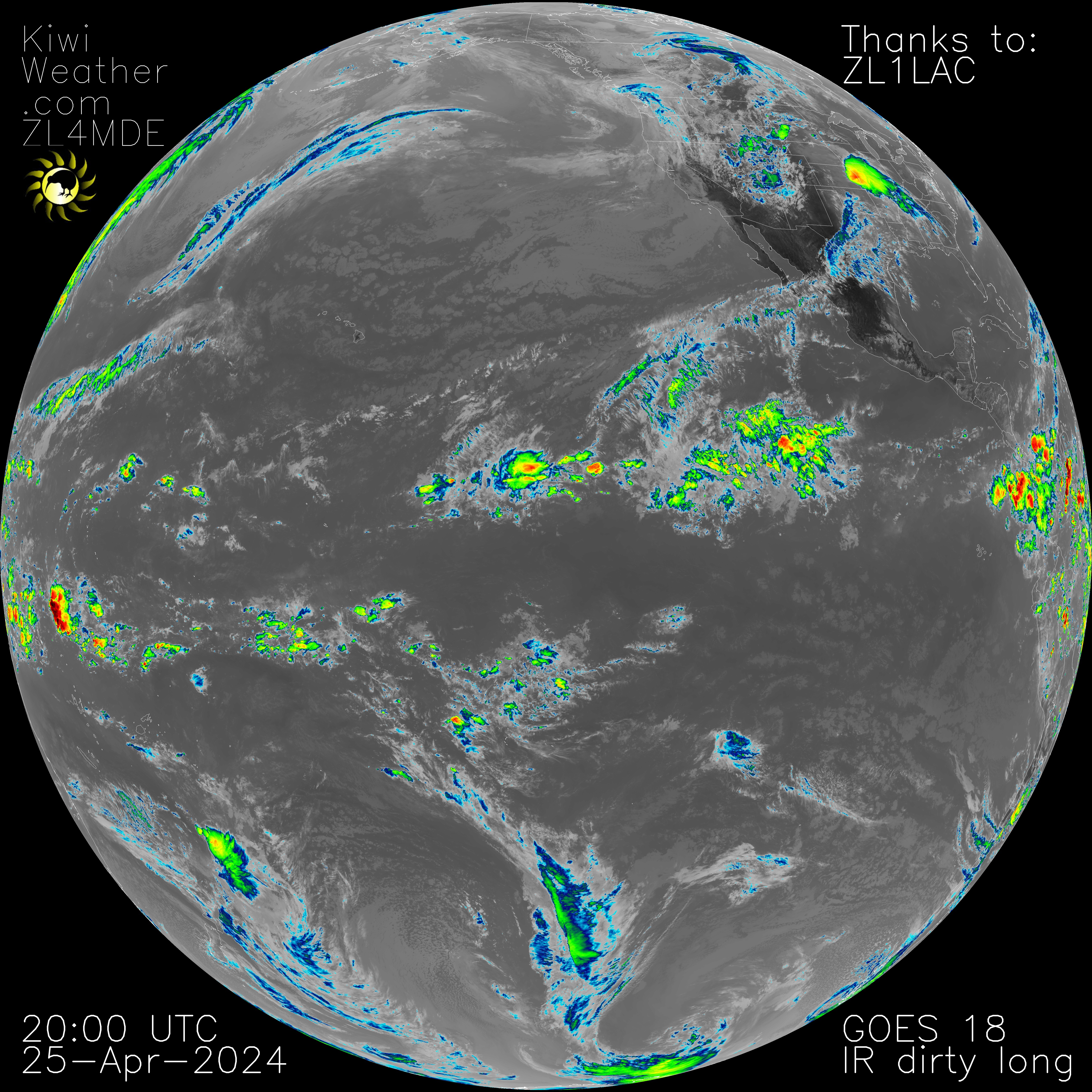
Dirty IR Longwave Window Band
- Greater sensitivity to moisture compared to the 10.3- and 11.2-micron channels. As a result, brightness temperatures will be cooler.
- Contributes to total PWAT and low-level moisture information.
Description Source
GOES 16 Band Reference Guide – note this applies to GOES 16, 17 and 18.