More Wet Weather Inbound
Whilst the last few posts have been focused around the GOES 17 and Himawari 8 geostationary satellites, the data captures from NOAA and Meteor have been ongoing.
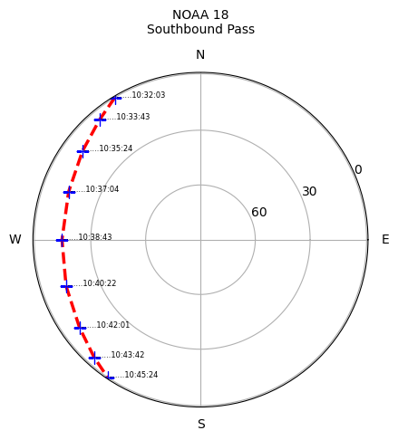
The NOAA 18 combined pass from this morning shows a very interesting looking weather system which is out in the Tasman.
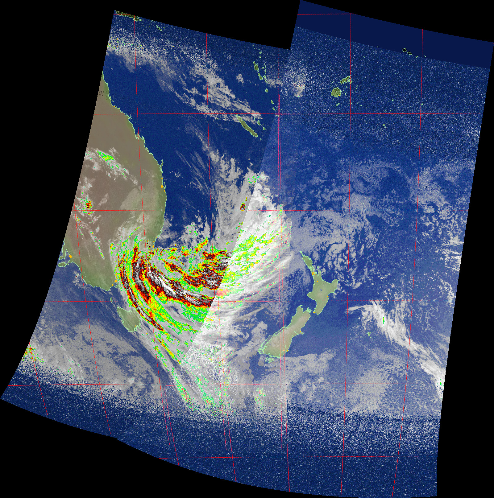
This is quite an unusual pattern with some very intense bands of precipitation, which can be seen in more detail in the western of the two passes which make up the composite pass image.
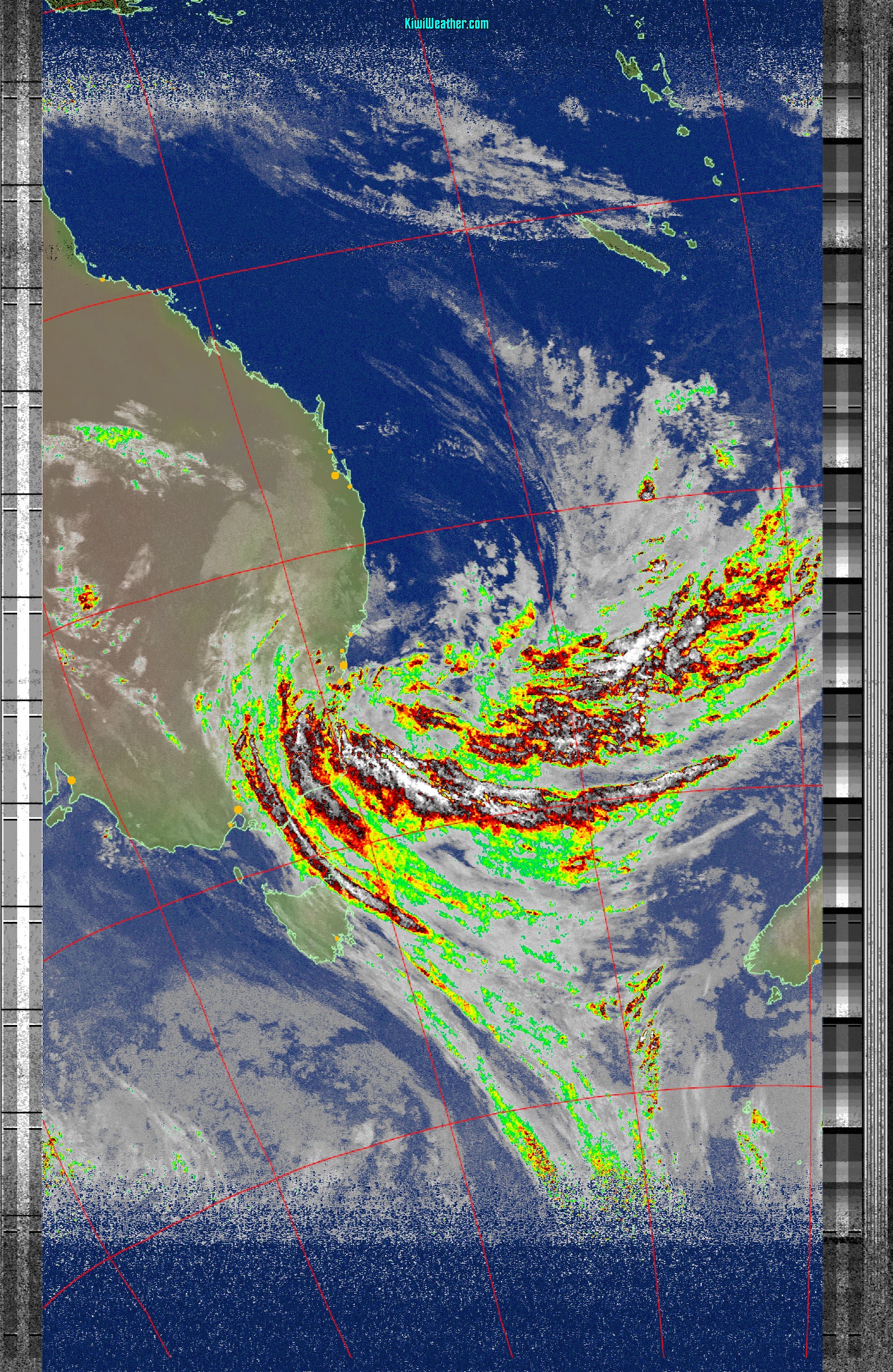
There is a complex set of precipitation bands visible, with some following a southward curve in an east to west pattern, whilst the southern most bands are very much heading in a south east direction.
This system is likely to cross New Zealand in the next one to three days and will result in patches of intense rain for some areas.
The pass is also quite unusual in the amount of Australia which is visible, with the 15 degrees maximum elevation showing Queensland and even part of Papua New Guinea.